No Results Found
The page you requested could not be found. Try refining your search, or use the navigation above to locate the post.

The page you requested could not be found. Try refining your search, or use the navigation above to locate the post.
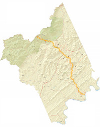
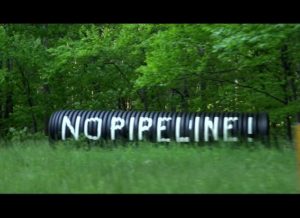
Friends of Nelson's Ben Cunningham has produced a series of detailed maps showing the ACP route through Nelson County.